Großer Winterberg-Wanderrunde
hike · Saxony
Route overview
Loop of 16 km, start and finish: Schöna. Around 780 m of climbing over this distance makes for a challenging profile, though not yet extreme. At roughly 4 h 10 min on the move (hiking, base pace 4.5 km/h), a solid half-day outing.
The route starts at 126 m above sea level; for most of its length it is rolling (+820 m / −810 m). The biggest climbs: at km 0 (3.7 km, averaging 11.3 %, +420 m, to Großer Winterberg (peak)); at km 8 (1.0 km, averaging 8.5 %, +85 m, to Wintersteinwächter (peak)); at km 11 (2.3 km, averaging 10.4 %, +230 m). The high point is at km 4, at 538 m above sea level. The route passes through, in this order: Schmilka (km 0). Some stretches get properly steep.
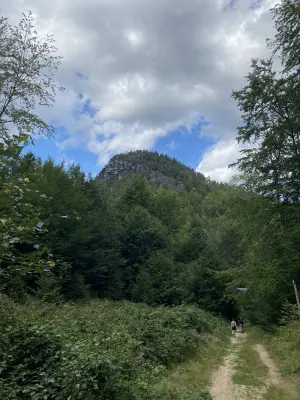
The route passes Großer Winterberg (peak, km 4) and Katzenstein (peak, km 5). Viewpoints along the route: Goldsteinaussicht (viewpoint, km 7), Teichsteinblick (viewpoint, km 8) and 1 more. The course partly follows waymarked trails (Malerweg, Fernwanderweg Zittau – Wernigerode (Sachsen Ost), Rundweg Roter Punkt (Meißen - Schmilka)). Huts and shelters along the route: Kleine schutzhütte (shelter, km 11), Wurzelboofe (shelter, km 14), Zwieselhütte (shelter, km 15) and 1 more. Most of the way leads through Saxon Switzerland National Park.
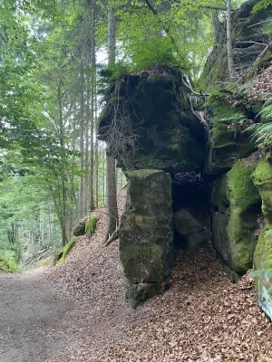
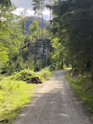
The surface is varied, ranging from dirt track to gravel. The route stays almost entirely clear of built-up areas.
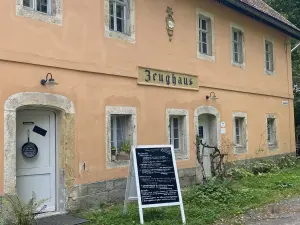
For a meal: Gasthof zur Mühle (restaurant, km 0), Wanderrast Großer Winterberg (café, km 4), Mühlenhof (café, km 16) and 2 more.
The route in numbers
- Distance
- 16.1 km
- Ascent
- 783 m Elevation gain is computed from a terrain model along the route line. Recordings from GPS devices can report higher values — owing to the slightly longer distance actually covered, to measurement inaccuracy, and to device-specific filtering. Differences of 10–15% are entirely possible.
- Highest point
- 538 m
- Lowest point
- 131 m
- Climbs
- 3
- Region
- Saxony
- Activity
- hike
Climbs
| km | Length | Ascent | Avg. gradient |
|---|---|---|---|
| 0–3 | 3.0 km | 382 m | 12.7 % |
| 8–9 | 1.0 km | 42 m | 4.2 % |
| 11–13 | 2.0 km | 223 m | 11.2 % |
Descents
| km | Length | Descent | Avg. gradient |
|---|---|---|---|
| 4–5 | 1.0 km | 78 m | 7.8 % |
| 6–8 | 2.0 km | 191 m | 9.6 % |
| 10–11 | 1.0 km | 41 m | 4.1 % |
| 13–16 | 3.1 km | 327 m | 10.5 % |
Surfaces
- Natural ground — 42%
- Gravel — 29%
- Asphalt/concrete — 12%
- Paving stones — 9%
- Unknown — 7%
Photos
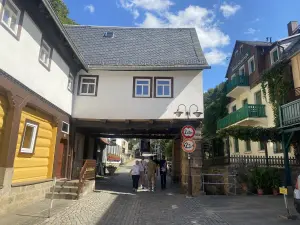
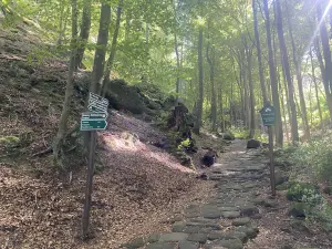
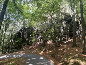
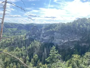
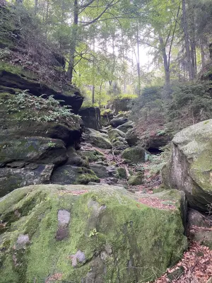
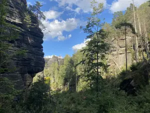
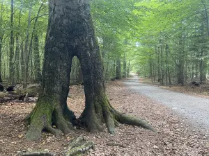
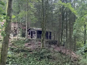
Weather along this route
The forecast, arrival times and warnings per section are computed when the route is opened, for the start time you choose - deliberately not part of this page preview.
More routes in Saxony
- Altenberg - Kahleberg-Wanderrunde — 12 km
- Caspar-David-Friedrich-Weg-Wanderrunde — 15 km
- [D10] Elberadweg linkselbisch [Abschnitt N]-Radrunde — 51 km
- Dresden - Bad Schandau - Hinterhermsdorf - Dresden — 140 km
- Dresden - Coswig - Königsbrück - Radeberg - Dresden — 98 km
- Dresden - Coswig - Oberau - Radeburg - Pulsnitz - Dresden — 124 km